1:50m Raster Data
Natural Earth features 9 types of raster files at 1:50 million-scale to suit your bandwidth and content focus. The raster files measure 10,800 x 5,400-pixels and register precisely with the 1:50 million-scale vector data. Embedded content includes land cover, shaded relief, ocean water, and drainages with lakes. All files include a TFW world file.
Note: Choose a category below to see matching downloads.
Files have been downloaded 413,791 times.
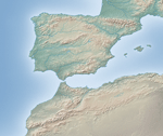 |
Cross-blended Hypsometric TintsShaded relief combined with custom elevation colors based on climate—humid lowlands are green and arid lowlands brown. As in nature, the map colors gradually blend into one another across regions (x and y axis) and from lowlands to highlands (z axis), hence the name cross-blended hypsometric tints. |
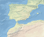 |
Natural Earth 1Satellite-derived land cover data and shaded relief presented with a light, natural palette suitable for making thematic and reference maps. Natural Earth I is available with ocean bottom data, or without |
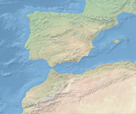 |
Natural Earth 2This data derived from Natural Earth 1 portrays the world environment in an idealized manner with little human influence. The softly blended colors of Natural Earth 2 are ideal for historical mapping, because it shows the world much as it looked before the modern era. |
 |
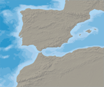
Ocean BottomBlended depth colors and relief shading of the ocean bottom derived from CleanTOPO2 data. The ocean color extends beneath land areas as a flat tint—mask it with the 10m Natural Earth vector shoreline, or a shoreline from another data source. |
 |
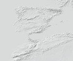
BathymetryRasterized 10m vector polygons in a layered Photoshop file that you can manipulate for color and then save a GeoTIF —use with the provided TFW world file. Optional reference layers include an ocean mask and land shaded relief. |
 |
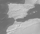
Shaded ReliefGrayscale shaded relief of land areas only derived from downsampled SRTM Plus elevation data clipped to the 50 million-scale Natural Earth coastline. A flat gray tint fills water areas. |
 |
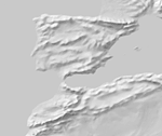
Gray EarthWorldwide terrain depicted monochromatically in shades of gray. It combines shaded relief and regionally adjusted hypsography that emphasizes both high mountains and the micro terrain found in lowlands. |
 |
Manual Shaded ReliefGeneralized shaded relief of land areas only fitted to the 50 million-scale Natural Earth coastline, drainages, and spot elevations. A flat gray tint fills water areas. |
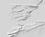 |
Prisma Shaded ReliefArtistically-filtered shaded relief of land areas only fitted to the 10 and 50 million-scale Natural Earth coastline, drainages, and spot elevations. A flat gray tint fills water areas. |


