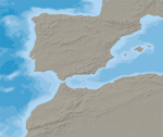
1:50m Bathymetry
Rasterized 10m vector polygons in a layered Photoshop file that you can manipulate for color and then save a GeoTIF —use with the provided TFW world file. Optional reference layers include an ocean mask and land shaded relief.
Rasterized 10m vector polygons in a layered Photoshop file that you can manipulate for color and then save a GeoTIF —use with the provided TFW world file. Optional reference layers include an ocean mask and land shaded relief.
