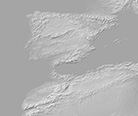
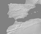
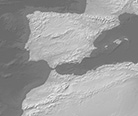
1:50m Gray Earth
The aim of Gray Earth is mapmakers working in black and white and those seeking a neutral terrain base map on which to overlay vibrant colors representing thematic data. Against the gray terrain, colors will pop. The terrain combines shaded relief and hypsography in even proportions and with just the right amount of contrast; Earth’s landforms are clear to see yet the terrain is light enough so as not to interfere with overprinting type and lines. Gray Earth is also highly malleable in Photoshop. A simple levels adjustment can make the terrain lighter or darker depending on your map design intent.


