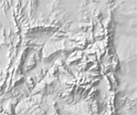
1:10m Manual Shaded Relief
Generalized shaded relief of land areas only fitted to the 10 million-scale Natural Earth coastline, drainages, political boundaries, and spot elevations. A flat gray tint fills water areas. Relief coverage also includes southern Canada, Mexico, Central America, and the Caribbean.


