« Downloads 

1:10m Physical Vectors

Files have been downloaded 2,155,272 times.

NOTE: Version number indicates the update cycle when that theme was last updated. An older version number indicates updates have not been necessary since then.
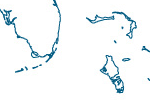
Coastline

coast_thumb
Includes major islands.

About | Issues | Version History »

Land

land_thumb
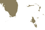
Land polygons including major islands.

About | Issues | Version History »

Minor Islands

minor_is_thumb
Islands that are 2 sq. km or less in size.

About | Issues | Version History »

Reefs

reefs_thumb
Coral reefs and atolls.

About | Issues | Version History »

Ocean

water_thumb
Ocean polygon split into contiguous pieces.

About | Issues | Version History »

Rivers + lake centerlines

rivers_lake_centerlines_thumb
Single-line drainages including optional lake centerlines and supplementary data for North America and Europe.

About | Issues | Version History »

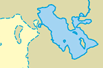
Lakes + Reservoirs

lakes_thumb
Natural and artificial lakes.

About | Issues | Version History »

Physical Labels

phys_labels_thumb2
Area and point labels of major physical features.

About | Issues | Version History »

Playas

playa_thumb
Salt pans and intermittent lakes.

About | Issues | Version History »

Antarctic Ice Shelves

antarctic_ice_shelfs_thumb
Year-round ice shelves fringing Antarctica.

About | Issues | Version History »

Glaciated Areas

glaciated_thumbIncludes glaciers and recently de-glaciated areas.

About | Issues | Version History »

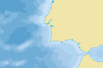
Bathymetry

bathymetry_thumb
Nested polygons for each depth created from SRTM Plus.

About | Issues | Version History »

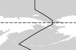
Geographic lines

geog_thumbTropical and polar circles, equator, and International Date Line.
About | Issues | Version History »

Graticules

grat_thumb
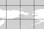
Grids at 1, 5, 10, 15, 20, and 30° intervals. Includes WGS84 bounding box.

About | Issues | Version History »

Physical Building Blocks – 10m

nps_thumb
Label points, seams, and more!

About | Issues | Version History »