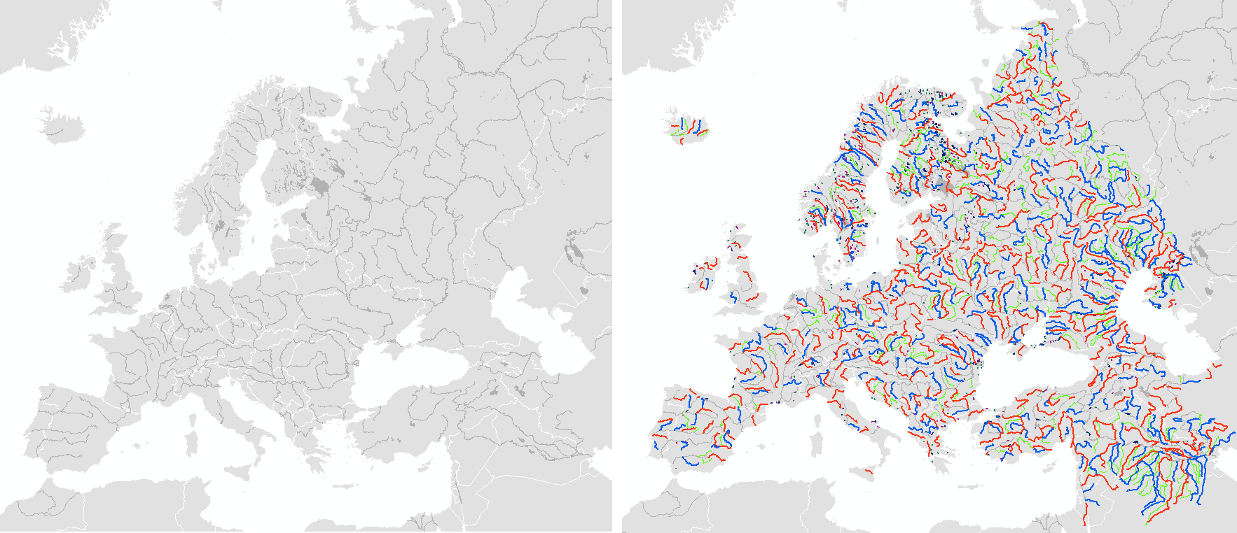
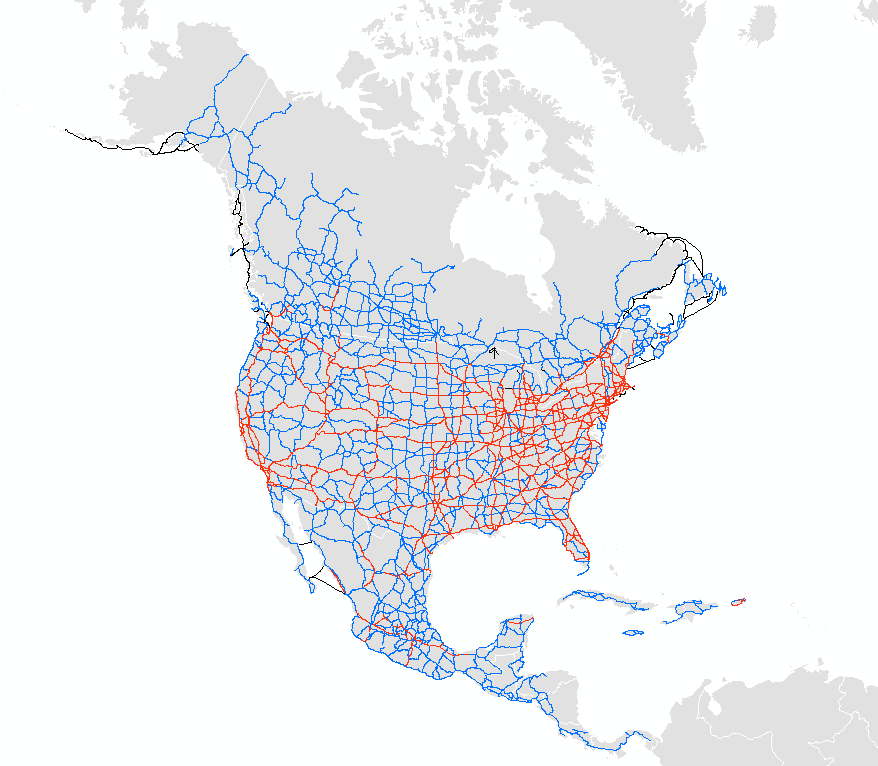
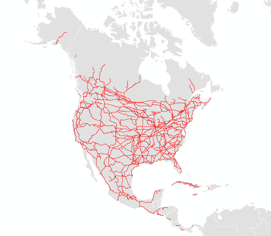
The download manager will be updated the next couple weeks. In the meantime, please check out the ZIP, linked below, to get the 61 changed GIS shapefiles (SHP). Release notes follow.
NOTE: Version 1.1.1 corrects the name of the 50m cultural “50m_admin_0_countries” file by adding the missing “r” (XQHSANQW71), updated March 15, 2010. Thanks Ben!
Thanks to over 50 contributors for making version 1.1 happen!
Tom, Dick, Craig, Jill, Landon, Preston, Nancy, Alfred, Brett, Annemarie, Hans, Martin, Kristin, Gene, Laris, Donatas, Kevin, Kurt, Tom, Xan, Bill, Ed, Uffe, Jochen, Christopher, Carlos, Barry, Alex, Victor, Kimi, Steve, daan, Maxb, Matt, Eugene, Damien, mizDannasag, Zoonseovasupem, Chris, Bjørn, Prof. Ward, Michael, Roy, Daniel, Kim, Gustav, Uwe, Geoff, Kumiko, Robert, Mike, Hugo, and Leo.
If you have a few hours to help, please check out the TODO listings below and email me at nathaniel@naturalearthdata.com.
Visitors: 123,000 page views since we launched in early December, 2009. Over 30,000 visits (20,000 unique) from 157 ISO countries, or 4.25 pages per visit. 65 percent are new visits. Visitors spend an average of 3 minutes 51 seconds on the site with a bounce rate less than 50 percent. Source: Google Analytics.
Downloads: 34,000. Three out of 4 downloads is ala cart, except for 10m cultural which is 1 out of every 2. Three out of every 4 downloads is for the 10m, with the rest split between 50m and the 110m. Just less than 1 out of every 2 downloads is for the raster. Source: Download Manager.
CHANGE LOG THIS RELEASE:
Overall
- ADDED – National Parks for the United States of America.
- ADDED – Landscan urban polygons (masks for population extraction out of original LandScan data). Keep using the existing urban areas theme, this one is for research modeling only.
- REMOVED – admin 0 marine boundary lines. The indicator lines are still there.
More than 50% changes
- 10m, 50m, 110m Cities has new towns being added, 30m selection created, various corrections, now include geonames.org IDs, bounding boxes from the landscan data, and historical populations for 500 mega cities. As this triples the file size, a new “simple” version is also available with the updates, but not the full attributes.
- 50m and 110m Admin 0 and admin-1 get better country names and thematic codes, including slight reranking of some units and link out to the Correlates of War database (cShapes).
- 50m and 110m Admin 0 and admin-1 in 10m are rebuilt to fix coastline offset and overlaps and gaps between countries and state/province lines.
- 10m, 50m, 110m Geographic label points for peaks and summits. Now spun off into separate feature class.
- 110m country boundaries, missing countries, added missing mid-range islands. Includes Caspian sea and admin-0 scale ranks.
- All files names now use “_” underscore instead of “-” in filename for better compatibility with ArcMap.
- Handful of file name changes for consistency.
Less than 5% changes
- 10m Rivers and lakes. A couple names, fixed the scaleRanks to show as integers rather than strings.
- 10m, 50m Updated the geographic areas marine names (Indonesia straight).
- 10m, 50m Updated the geographic areas polys names (Seward Penn, Alaska).
- 10m coastline updates for Venice. Same for land and ocean.
- 10m bathymetry updates for several island mounts.
- 10m Antarctic ice shelves, now includes ice shelf names.
- 10m glaciated areas: names cleaned up, feature class column filled in.
- 10m, 50m, 110m WGS84 bounding box has more point to aid in reprojecting as a linearized curve.
- Fixed TWF extent on the raster imagery to improve import into popular open source GIS packages.
- 50m ocean can now project into web Mercator.
- 110m all cultural and most physical themes now inside the +/- 180, +/- 90bounding box.
TODO, spring 2010:
TODO NEXT, fall 2010:
- Adding georeferenced manual shaded relief plates for select areas (US National Park Service).
- Possibly more from the gRoads project. Data source identified. (CEC North America Atlas, gRoads CIESEN)
- Urban areas – gain names, more towns get latLng bounding box, remove bad polygons, move some. Data source identified. (University of Madison, Wisconsin)
- Wetlands – polygons. Data source identified. (University of Madison, Wisconsin)
- Incorporate US physiographic regions from Matt Fox. Other refinements to the polys. Data source identified. (USGS)
- Add in alt names for more populated places using GeoNames ids.
- World protected areas (terrestrial, marine)
Other
- Are we missing a theme or have one to contribute? Please comment on this post!
After the jump, full listing of changes.
read more »

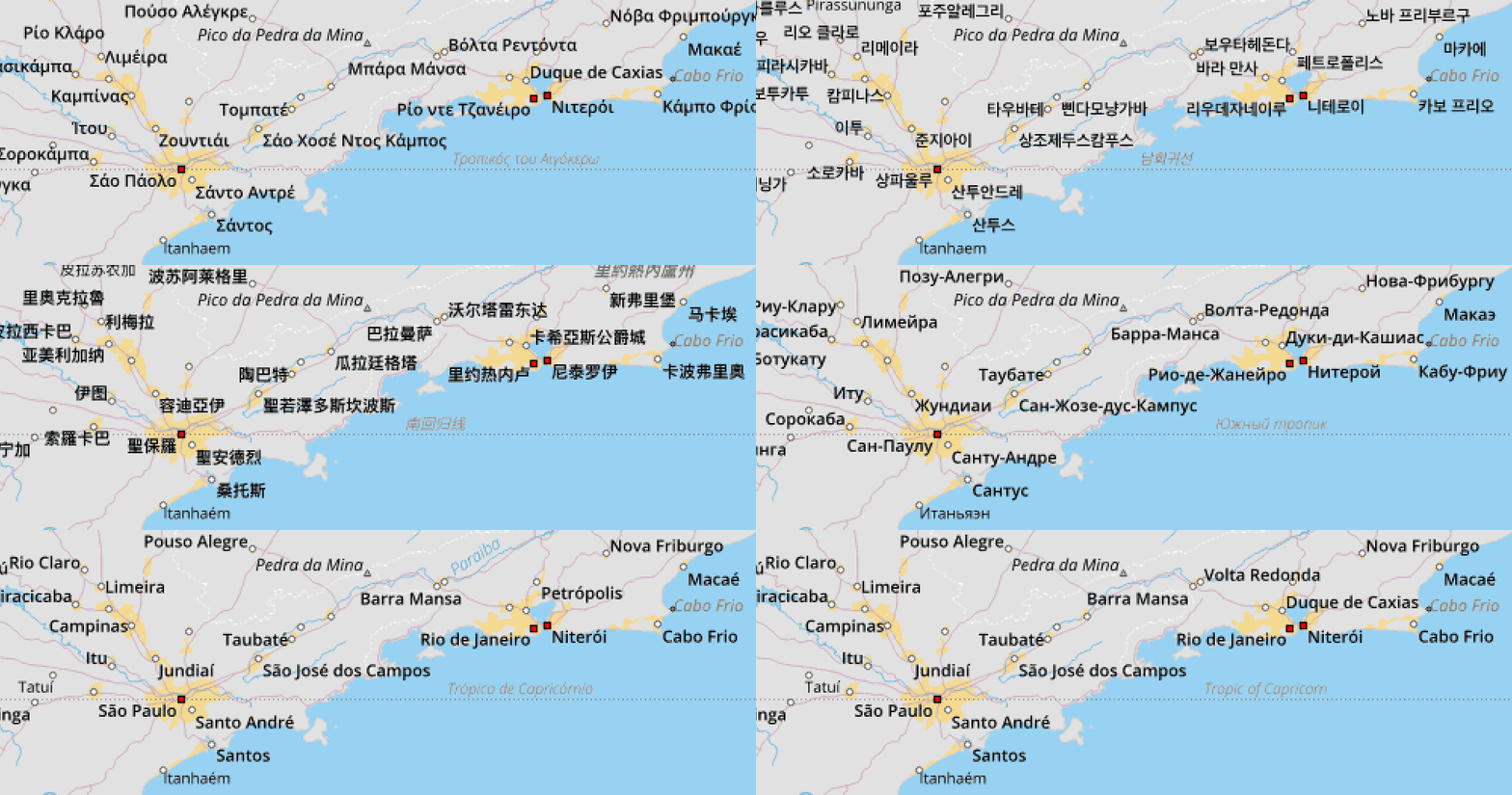
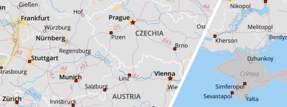
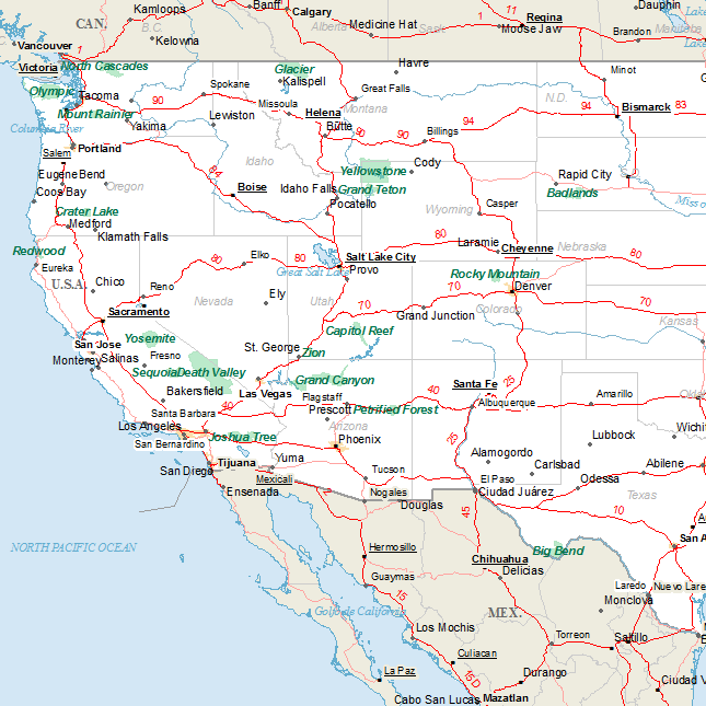
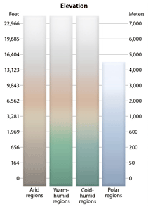 Due to popular demand, a new version of the Cross Blended Hypsometric Tints is available
